Dataja:Bundesautobahn 14 map.png
Wulkosć tutoho přehlada: 443 × 599 pikselow. Druhe rozeznaća: 177 × 240 pikselow | 355 × 480 pikselow | 568 × 768 pikselow | 758 × 1.024 pikselow | 2.052 × 2.773 pikselow.
Wersija z wyšim rozeznaćom (2.052 × 2.773 pikselow, wulkosć dataje: 562 kB, typ MIME: image/png)
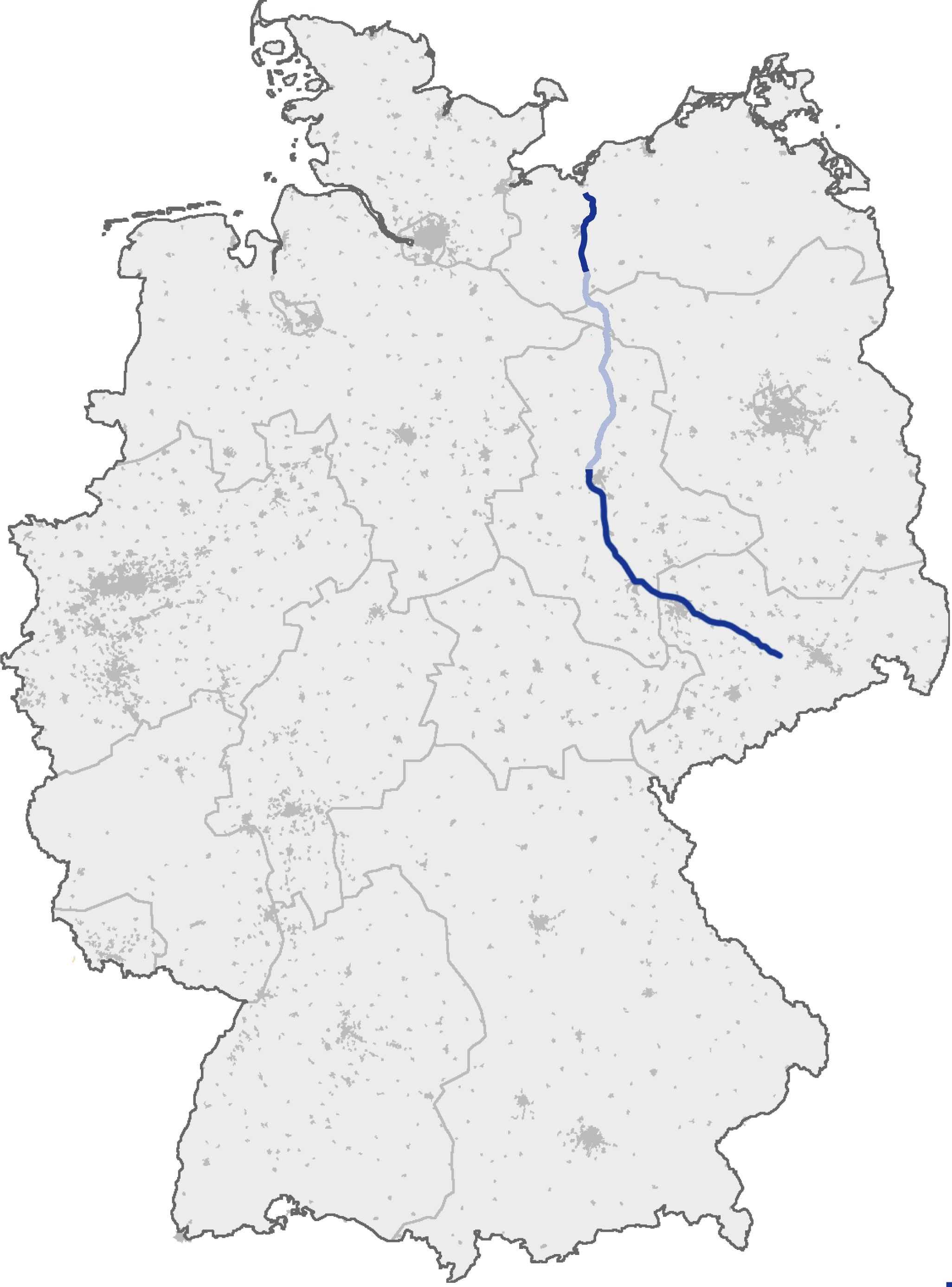
| wopis | (Geplanter) Verlauf der Bundesautobahn A 14 |
| datum | (original text: 17. September 2006) |
| žórło | de.wikipedia, original uploader was de:user:Heierlon, original picture was here |
| awtor | Thorsten Weber |
| dowolnosć (dalewužiwanje tuteje dataje) |
GFDL-OpenGeoDB |
This image was generated with OpenGeoDB. The information there is placed in the public domain, images generated from OpenGeoDB are derivative works without passing the threshold of creativity, they are therefore also public domain.
| Diese Datei ist gemeinfrei („public domain“), weil sie nur Allgemeingut enthält und die nötige Schöpfungshöhe nicht erreicht. |
Wersije dataje
Klikń na wěsty čas, zo by wersiju dataje w tutym času zwobraznił.
| Čas | Wobrazowy napohlad | Rozeznaće | Wužiwar | Komentar | |
|---|---|---|---|---|---|
| aktualnje | 20. decembra 2009, 21:13 | | 2.052x2.773 (562 kB) | Niteshift | Schwerin-Nord - Jesendorf light -> dark blue |
| 19. junija 2007, 00:49 |  | 2.052x2.773 (720 kB) | Niteshift | ||
| 6. apryla 2007, 16:55 |  | 2.052x2.773 (702 kB) | Niteshift | ||
| 13. septembra 2005, 21:03 |  | 1.122x1.515 (77 kB) | Qualle | Bundesautobahn 14 in Germany {{GFDL-OpenGeoDB}} 014 |
Datajowe wužiwanje
Dataja so na slědowacych stronach wužiwa:
Globalne wužiwanje dataje
Slědowace druhe wikije wužiwaja tutón wobraz:
- Wužiwanje na cs.wikipedia.org
- Wužiwanje na de.wikipedia.org
- Wužiwanje na fa.wikipedia.org
- Wužiwanje na fr.wikipedia.org
- Wužiwanje na hr.wikipedia.org
- Wužiwanje na hu.wikipedia.org
- Wužiwanje na ja.wikipedia.org
- Wužiwanje na no.wikipedia.org
- Wužiwanje na pt.wikipedia.org
- Wužiwanje na sk.wikipedia.org